If you are interested in any of these please contact Maureen, Interest groups coordinator
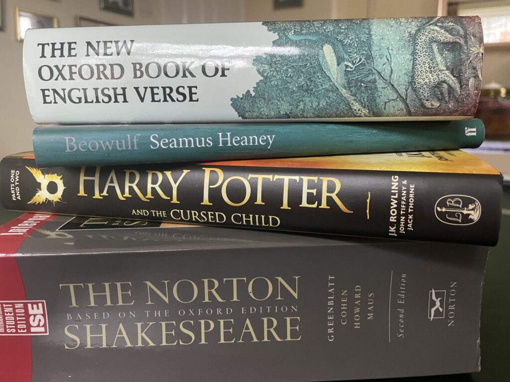
Read It Aloud Group 2
Starting Wednesday 7 October 2.00 to 4.00pm & every 1st Wednesday afternoon thereafter.
Following a similar format to our existing popular Read It Aloud Group, which is full with a waiting list
Maximum number of members 8
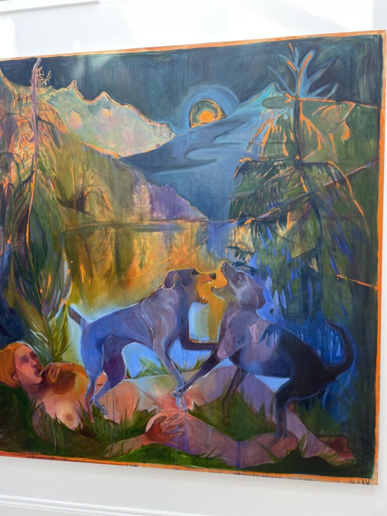
Art Appreciation 2
Following a similar format to our vibrant existing Art Appreciation Group, which has a waiting list .
An opportunity to help form another group, with a view to starting in the autumn. Members of Group 1 will help get it off the ground.
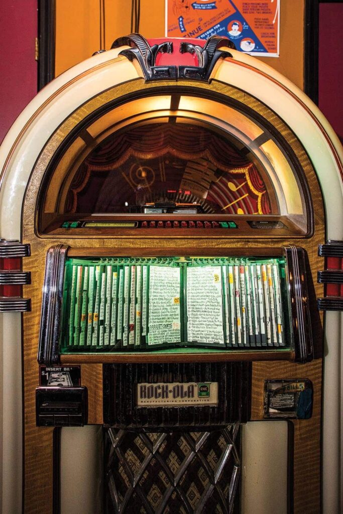
Music Appreciation Lite
We are looking to start a new group covering a variety of music genres. A chance to get in at the start and help form this new group.
Ideas welcome, including a different title!
Chess - hoping to start Autumn 2026
Maps - starting later in 2026
Possible Study subjects within the field of Maps:
1. History of Cartography – the evolution of map-making from ancient to modern times.
2. Modern Mapping Techniques – use of digital tools, GIS, and remote sensing.
3. Topographic Mapping – studying elevation, terrain, and physical features.
4. Thematic Mapping – creation of maps focused on specific themes (e.g., climate, population).
5. Political and Administrative Maps – representation of boundaries, governance, and territorial divisions.
6. World and Regional Maps – large-scale and small-scale mapping of continents, countries, and regions.
7. Transport and Railway Maps – design and analysis of transportation networks and routes.
8. Navigational and Maritime Maps – charts used for sea, air, and land navigation.
9. Urban and City Mapping – planning and mapping of urban infrastructure and development.
10. Environmental and Ecological Mapping – studying land use, vegetation, and resource distribution.
11. Geographical Information Systems (GIS) – integration of data and maps for analysis and decision-making.
12. Remote Sensing and Satellite Mapping – use of aerial or satellite imagery to create and update maps.
Topics of your choice. Plus, of course, fieldwork and visits.